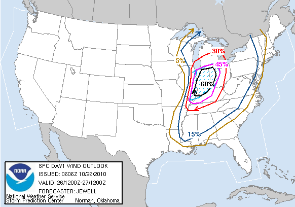
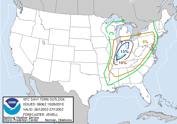
Thursday afternoon, I decided to leave work early and make the 12.5 hour trip from Rockford, Illinois to Norman, Oklahoma to meet up with Joe Navickis and Juston Drake to take a shot at a possible chase day Friday. After arriving in Joplin, Missouri and taking a short nap, I was back on the road for Norman.
I arrived around 10 am, and we headed out right away. Things weren't looking quite as good at this point, but we abandoned our original target in the Texas Panhandle for a more probable target, being it didn't appear there would be sufficient instability in the Panhandle region.
Passing through the morning convection coming out of W TX/SW OK, we were treated to a nice shelf cloud on a line of storms, but never mind that. Targeting near Childress, Texas, we made it down in time for storms to start developing to our SW. One isolated cell began to develop, so we set course for intercept. The storm had been severe warned, and another storm was developing to its NE.
 |
| Wall cloud on northern storm |
 |
| Southern storm approaching |
Although the storm to the NE had a nice looking wall cloud, the base on the storm approaching from the south was much more impressive looking, so we decided to stick with it. As it approached, we were treated to some very nice structure and intense cg's, and soon a few brief rope funnels. The storm quickly became outflow dominant, and choked itself off. This storm came very close to producing, but never became tornado warned.


